Coordonnées géographiques : S 20°29’56.6’’, E 28°30’00.6’’
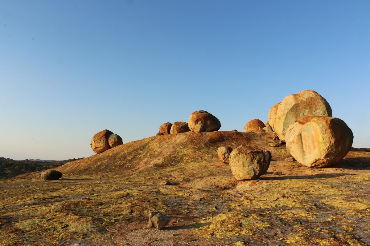
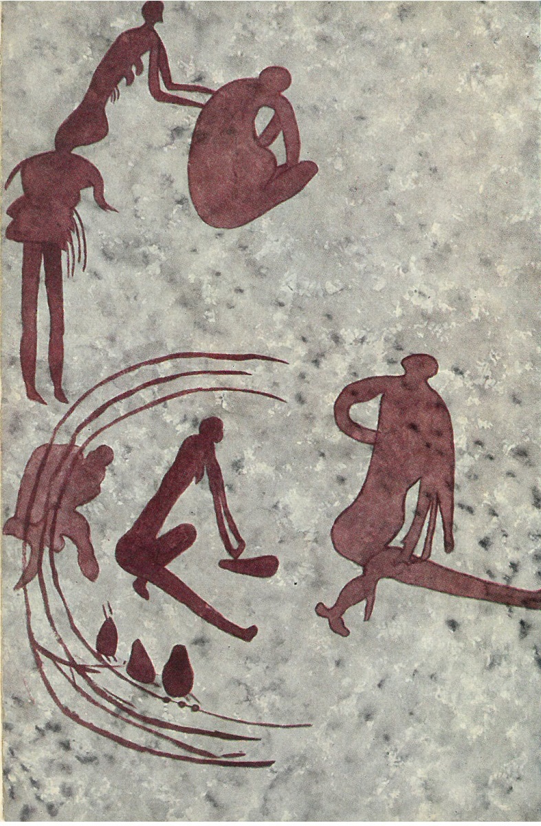
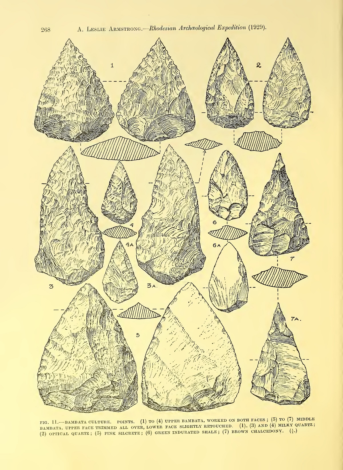
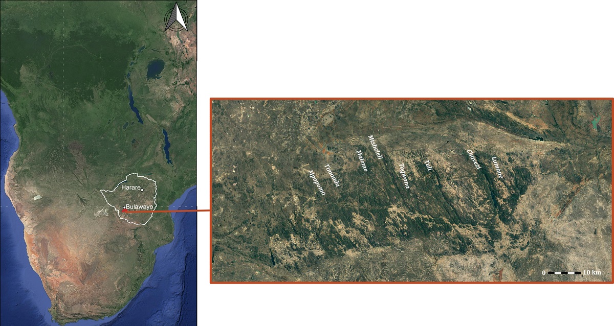
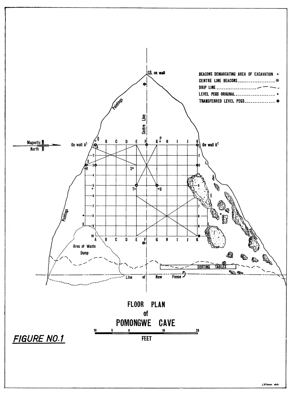
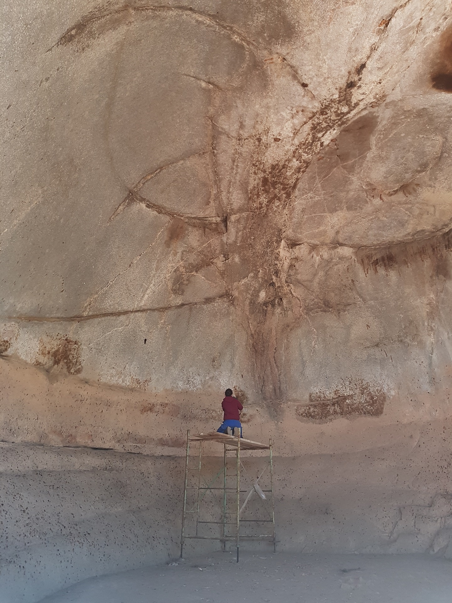
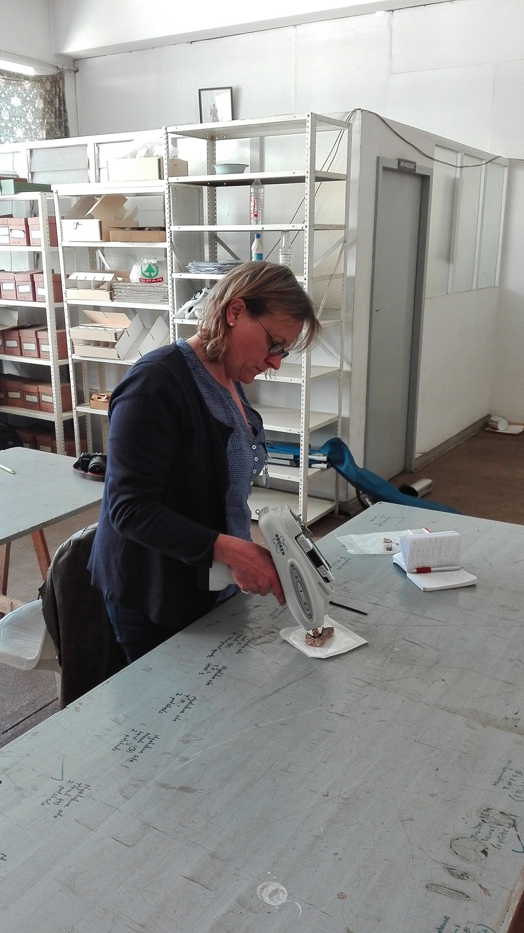
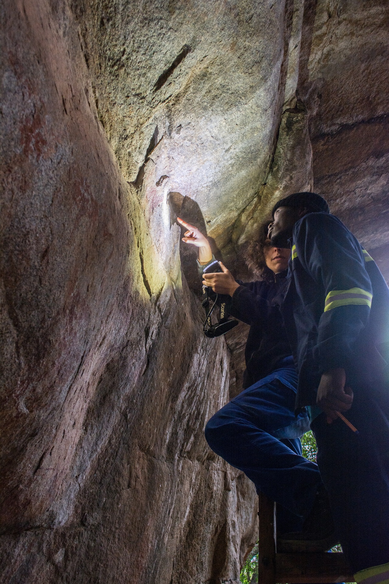
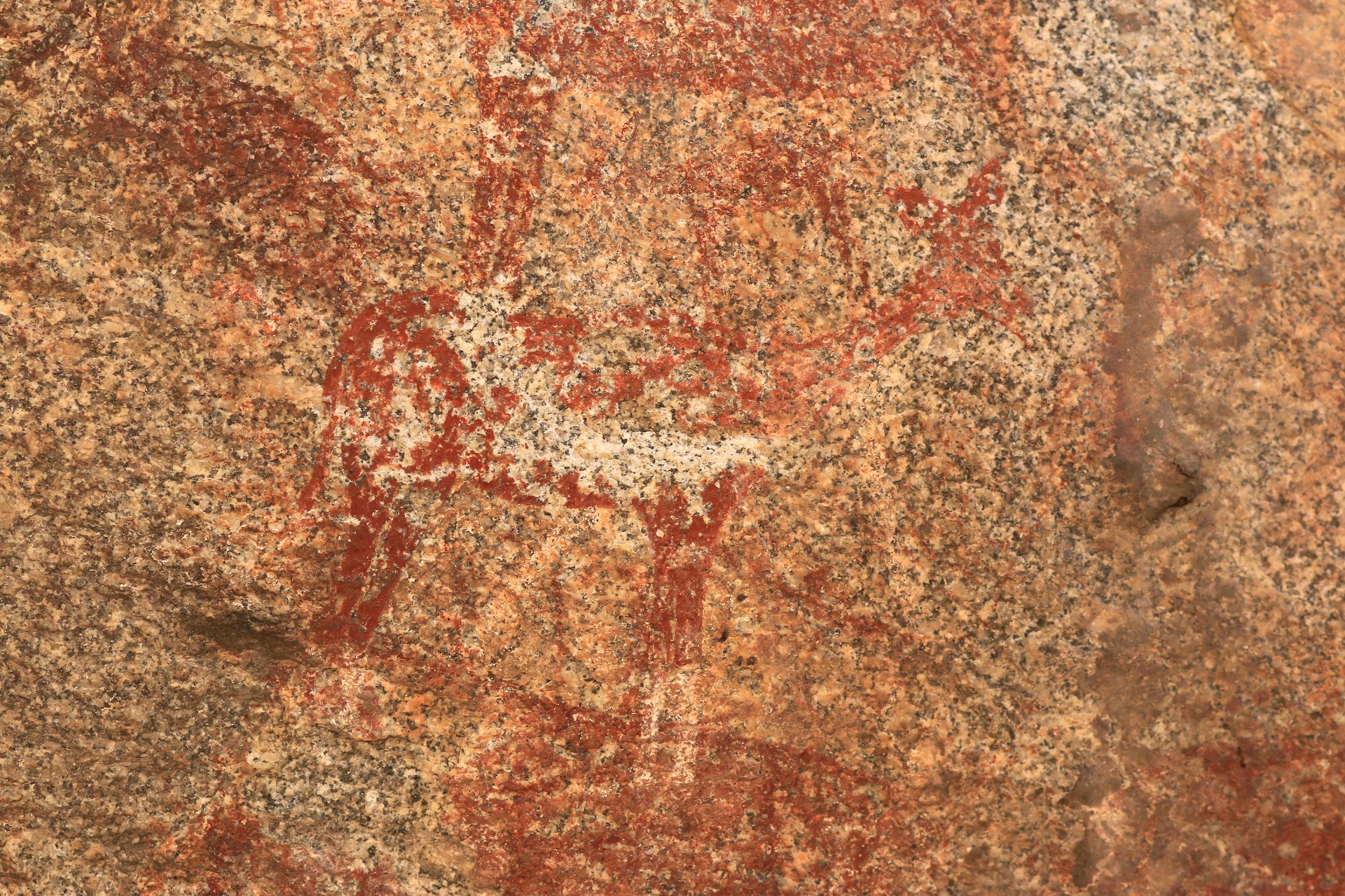
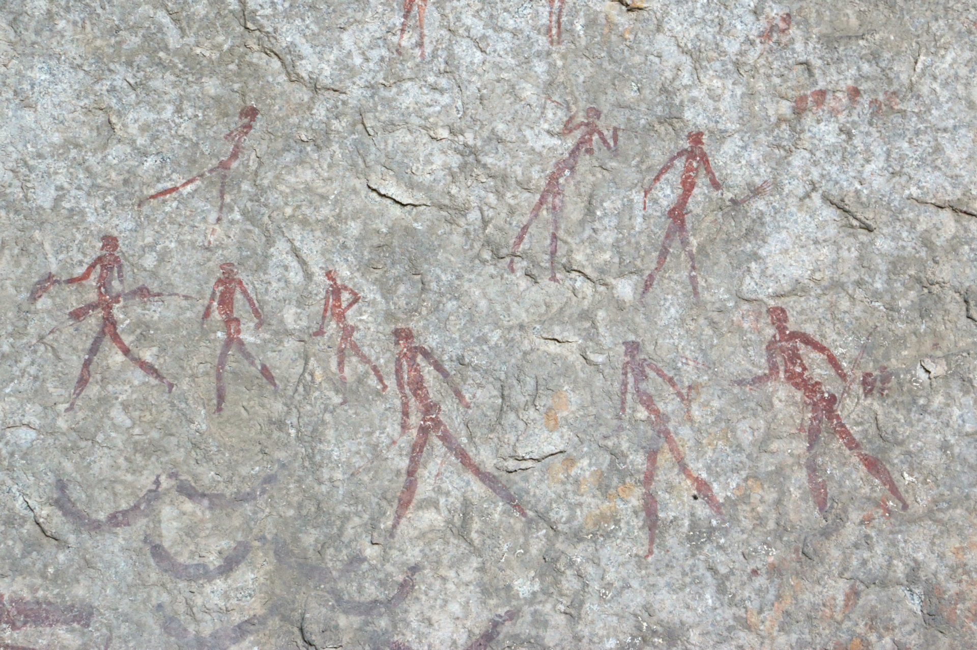
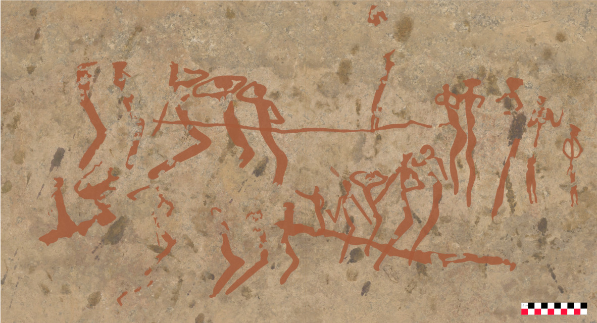
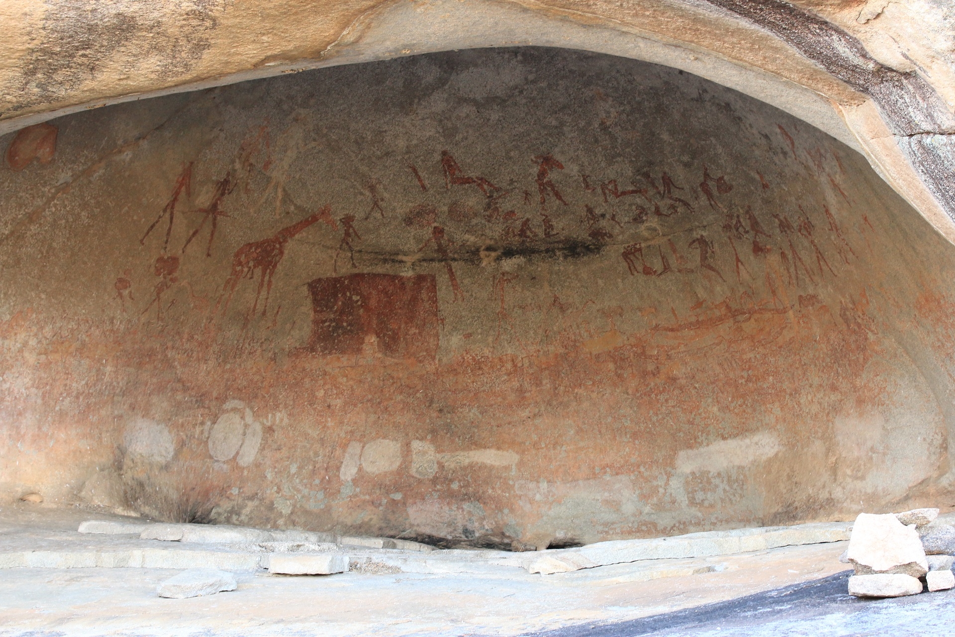
The Matobo UNESCO World Heritage Landscape lies about 35 km south of Bulawayo, the country’s second largest city, in south-western Zimbabwe. It covers an area of about 3100 km² which includes the Matobo National Park, established in 1926 as the Rhodes Matopos National Park and famous for its wilderness, communal lands, and a small part of commercial farmland. It is a rocky landscape broken by several valleys that make up the famous undulating viewscape endowed with a unique natural, cultural, and living heritage. The Hills contain a rich archaeological and historical heritage, and notably one of the highest concentrations of prehistoric hunters-gatherers’ rock paintings in Southern Africa. Some painted sites can be visited (Pomongwe, Nswatugi, White Rhino, Silozwane). A small site museum at Pomongwe Cave showcases some fascinating heritage of the hills and its people.
The Matobo is also a living heritage. It has for centuries been associated with a regional oracle of the High God/Mwari/Mlimo, whose voice is said to be heard from the rocks in this landscape. This powerful oracle links the indigenous communities from all over Zimbabwe and other parts of southern Africa to the hills with their deep caves, sacred forests, trees and pools. As such, the Matobo landscape has powerful shrines such as Njelele, Zhilo and Dula that are revered up until the present (Kumirai et al., 2013).
Matobo is also a memorial place from the colonial period, with the memorial shrine for Memorable Order of the Tin Hats which commemorates those who perished during World War I and II, and the graves of prominent colonial personalities such as Cecil John Rhodes, Leander Starr Jameson, Alan Wilson at the World’s View (Burret et al., 2016).
(Ancila Nhamo, Camille Bourdier, décembre 2022)